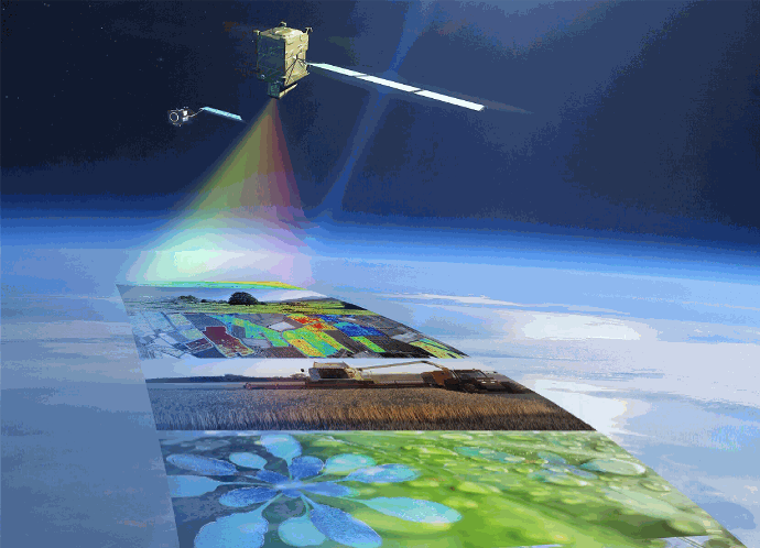
With Volttus Derivatives tools, you can confidently assess and manage the risk of your businesses associated with crop production, through the use of remote sensing monitoring.
Volttus Geospatial helps you be successful in a derivatives market, providing you with tools such as financial instruments for decision-making regarding the cultivation of products of high demand from agriculture, whose value may depend on variations in spectral indices taken from different sensors, which will allow risk management or speculation based on changes in the underlying market.
APPLICATIONS USING
REMOTE SENSING
Agricultural yield forecasts
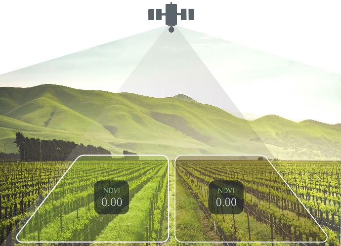
The advantage of using satellite data for agricultural performance forecasting is its capacity for global observation of the territory.
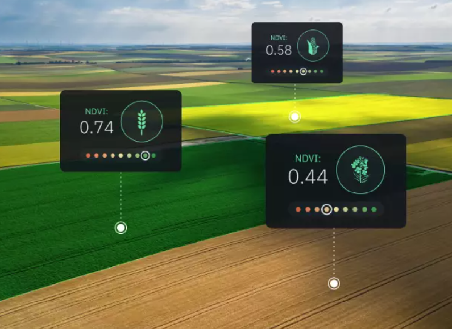
In agriculture, remote sensing provides valuable information about crop health, land conditions, and environmental factors. Satellite imagery and other remote sensing tools capture data on vegetation indices, soil moisture, and temperature, among other variables. These datasets become integral components for predicting agricultural returns, as they offer insights into the overall health and conditions of crops
Our tool is of great help to farmers,
agronomists, insurance companies, agricultural consultants and other market
agents.
Plant Stress Detection
Derivatives analytics in plant stress detection using remote sensing involves the application of financial analytics principles to interpret and forecast variations in plant health by leveraging derivative indicators derived from remote sensing data. This innovative approach aims to harness the power of financial analytics methodologies in analyzing dynamic changes observed in remote sensing-derived derivatives for effective plant stress monitoring.
The integration of derivatives analytics with remote sensing in plant stress detection enhances the ability to monitor and assess the health of crops and vegetation across large spatial scales. This data-driven approach enables early detection of stress conditions, facilitates precision agriculture practices, and supports sustainable resource management decisions in the agricultural and environmental sectors.
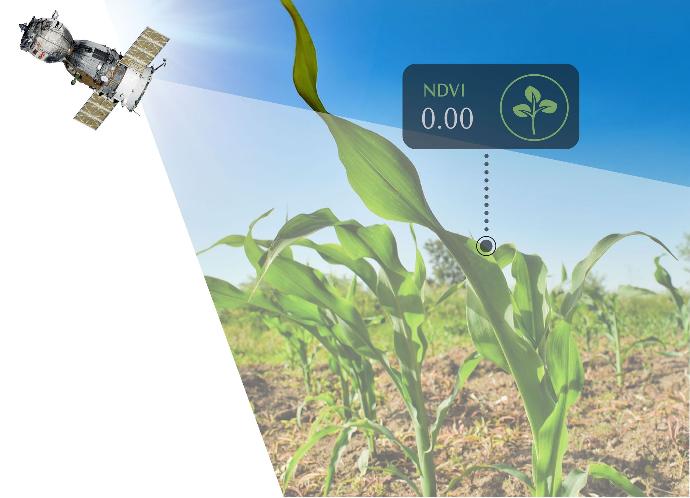
If your company depends on water, you can use the tools to carry out an assessment of the risk to which you are exposed or others related to water stress. You can obtain data on water availability in the areas where your companies operate, allowing for a more accurate assessment of water risk. This can help you make decisions about investing in shares of these companies based on their resilience to water stress.
On the other hand, these tools can monitor the health of crops and predict agricultural production based on water conditions. This information is valuable to investors in the agricultural stock market as they can make decisions based on crop performance prospects.
Disease and Pest Mapping
Remote sensing makes it possible to identify patterns associated with diseases or pest infestations. Early detection of these problems can help implement precise control measures and limit damage to crops.
Disease and pest mapping using remote sensing and derivatives analytics involves the integration of advanced technologies to monitor, analyze, and map the spatial distribution of diseases and pests affecting crops. This approach combines the capabilities of remote sensing, which provides detailed spatial information, with derivatives analytics techniques to extract meaningful insights from the collected data.
Input Application Optimization
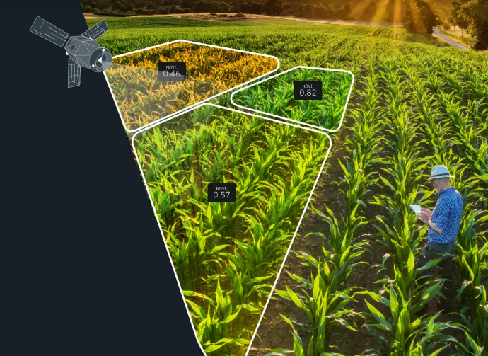
By analyzing the spatial variability of crops, farmers can optimize the application of inputs such as fertilizers and pesticides. This not only reduces costs, but also minimizes environmental impact.
Soil Quality Monitoring
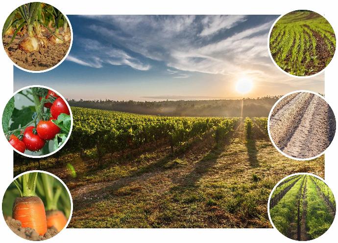
Remote sensing can also be used to assess soil quality. Information about soil composition can help adjust agricultural management, such as choosing crops suitable for certain areas.
Return Prediction
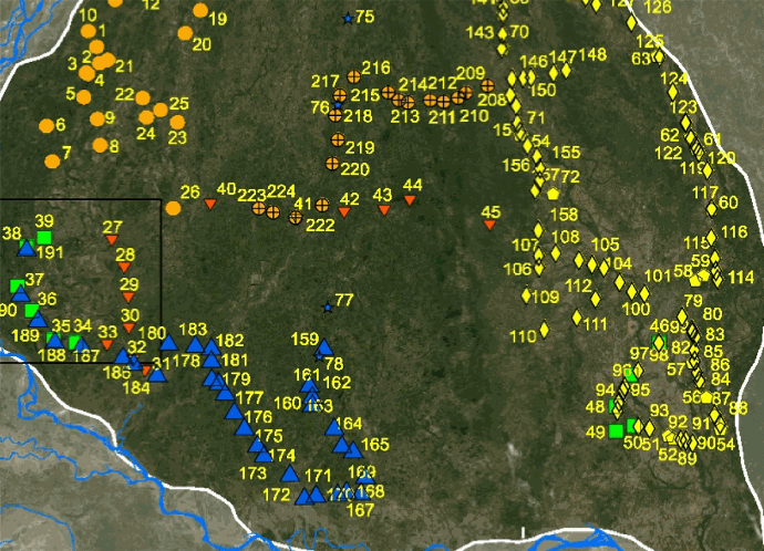
By combining remote sensing data with predictive models, it is possible to estimate crop yields before harvest.
This provides farmers with advance information on production and helps them in making business decisions.
Return prediction in derivatives analytics becomes particularly relevant when applied to the agricultural sector in conjunction with remote sensing data. This integration involves leveraging quantitative models and analytical methods to forecast future returns for crops and commodities, utilizing insights gained from remote sensing technologies.
Monitoring of Climatic Conditions
Through the use of remote sensing methods, it is possible to monitor climatic conditions and predict extreme climatic events that could affect crops. This is essential for agricultural risk planning and management.
