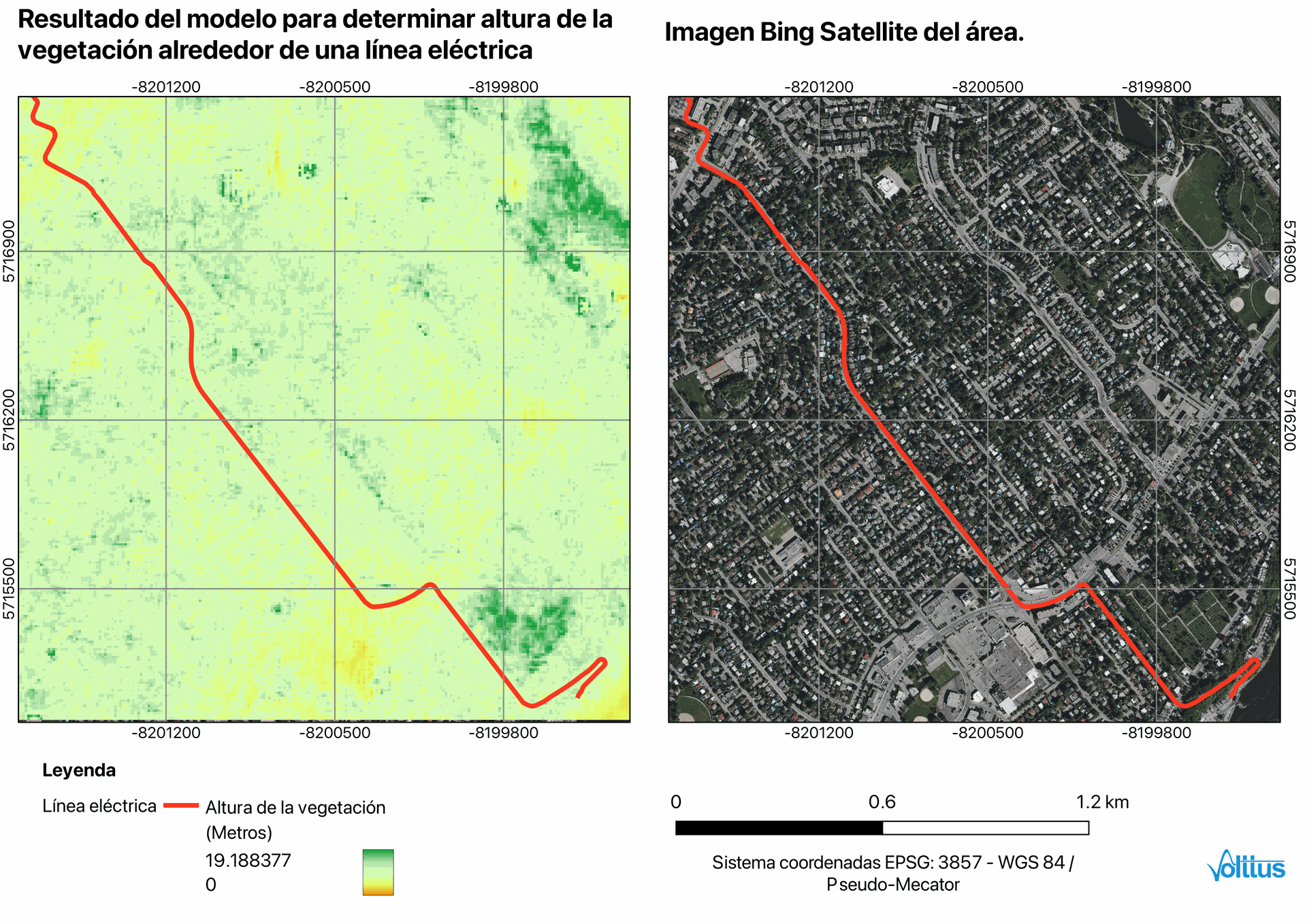
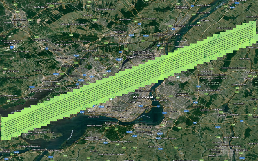
Example: Monitoring Vegetation height in zones near High tension electric lines in the City of Montreal, Canada
Volttus uses deep learning models to obtain estimates of vegetation height from images from Sentinel-2.

This method makes it possible to produce a globally consistent map and dense as high as the treetops of the entire Earth, with a distance 10 m soil sampling.
This method has the advantage that the general underestimation bias is substantially reduced for the high canopy and does not require local calibration therefore it can be implemented anywhere on Earth.

To validate the method used, the GEDI data was downloaded of the area of interest and a raster of canopy height was generated using images of Sentinel-2 dates approximate GEDI data.
